Description
-
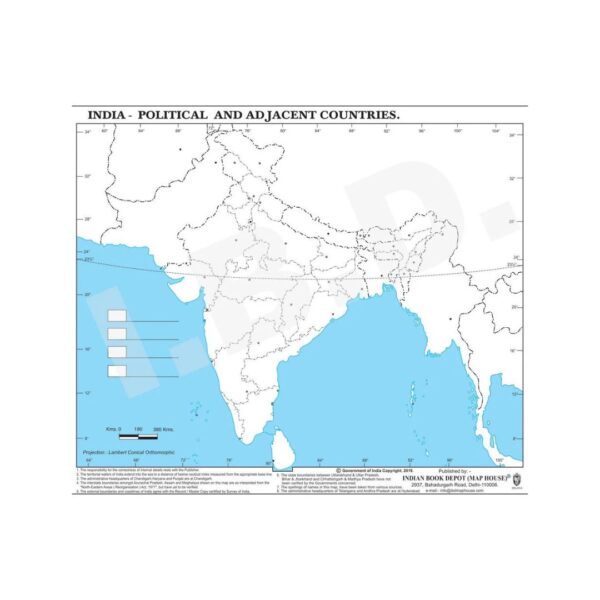
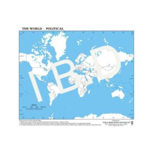
Accurate & Up-to-Date: Features clear political boundaries of Indian states and union territories.
-
Large Format: 11 x 8.5 inches – offers ample space for notes and labeling.
-
Student-Friendly Design: Tearable paper sheets are easy to distribute and use in classrooms.
-
Educational Tool: Enhances understanding of India’s political geography, ideal for exams, quizzes, and assignments.
-
Interactive Learning: Perfect for school projects, presentations, and map-related activities.
-
Made for Classrooms: Printed on easy-to-handle paper suitable for daily use.


Reviews
There are no reviews yet.